 MOREPATHS.COM
MENU
 MOREPATHS.COM
MENU
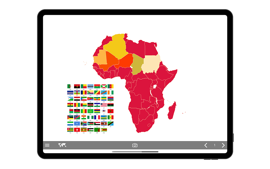
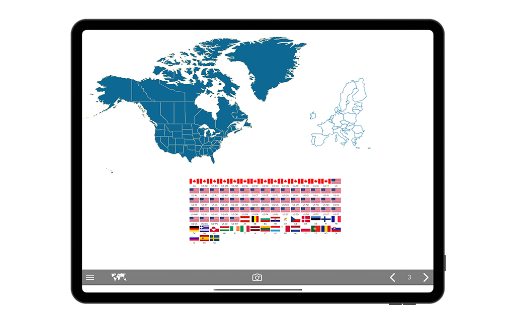
WorldMapsPlus for iPad revolutionizes the way you create and present geographical data. This powerful application offers a streamlined process for generating professional-grade infographics based on world maps, making it an essential tool for educators, business professionals, and presenters alike. With its intuitive three-step approach – select a country, choose a style, and export your creation – WorldMapsPlus empowers users to craft compelling visual narratives with ease.

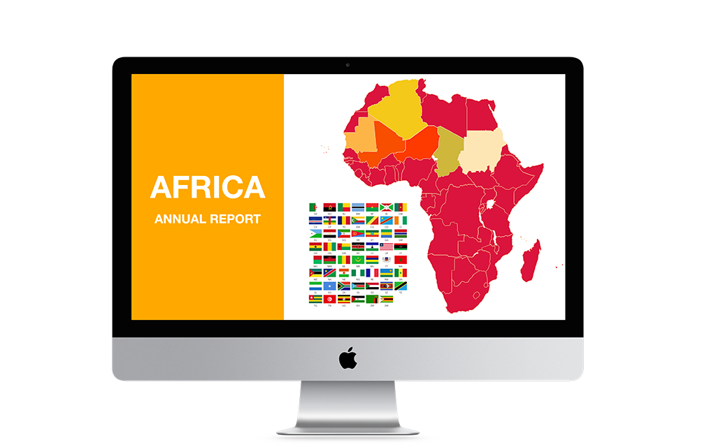
One of the standout features of WorldMapsPlus is its seamless integration with external monitors. When connected, your active world map is instantly mirrored on the larger screen, with real-time updates reflecting any modifications made on your iPad. This functionality is invaluable for live presentations, allowing you to manipulate data and showcase information dynamically. Additionally, the app's offline capabilities ensure that you have access to world maps anytime, anywhere – perfect for last-minute preparations or presentations in areas with limited connectivity.

WorldMapsPlus excels in project management and organization. The app's intuitive grouping system and favorites feature allow users to efficiently categorize and access their projects. This organizational prowess extends to the app's unique double layout feature, which automatically adjusts elements based on the iPad's orientation, remembering distinct layouts for each project. Such flexibility enhances the visual impact of your presentations and adapts to various display scenarios.

For those who prioritize data security, WorldMapsPlus offers robust sharing options with encryption. This feature ensures that your sensitive geographical data and custom infographics remain protected, even when shared across the internet. The ability to set password protection for shared content provides an additional layer of security, making WorldMapsPlus an ideal choice for professionals dealing with confidential information.
Lastly, WorldMapsPlus caters to diverse presentation needs with its comprehensive filtering system and report generation capabilities. Users can create multiple views of the same world map, applying filters to highlight specific regions or data sets. The report generator function allows for the export of infographic collections as PDF files, complete with additional notes – perfect for creating detailed geographical reports or comprehensive presentation handouts. With support for both light and dark interface themes, WorldMapsPlus adapts to your visual preferences and device settings, ensuring a comfortable user experience in any lighting condition.

Start Creating